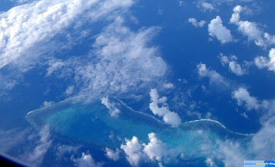
This post takes a look at China's claim to the South China Sea and what it teaches us about the whole idea of national humiliation that even foreigners who should know better still use as if it explained something about Chinese government policy. It is actually expansionist propaganda, which presents Chinese expansionism as redress of victimization, as is common among expansionists of all political stripes and nations.
Showing posts with label Paracel. Show all posts
Showing posts with label Paracel. Show all posts
Monday, June 22, 2015
The Century of Humiliation is Expansionist Baloney
This post takes a look at China's claim to the South China Sea and what it teaches us about the whole idea of national humiliation that even foreigners who should know better still use as if it explained something about Chinese government policy. It is actually expansionist propaganda, which presents Chinese expansionism as redress of victimization, as is common among expansionists of all political stripes and nations.
Sunday, June 21, 2015
How a non-existent island became China's southernmost territory
 |
| James Shoal, totally submerges |
Where is the "southernmost point of Chinese territory"? It's a controversial question and the least controversial answer might be Hainan Island . More controversial options would be the Paracel (Xisha) islands or the Spratlys (Nansha). But officially the southernmost point is even further south - as far south as the James Shoal, about 100 kilometres from the coast of Borneo. What's more surprising is that this piece of the motherland is actually invisible. There's nothing there to see, unless you have diving equipment.
Monday, June 15, 2015
Angela Merkel's historical China map flap
 |
| German Chancellor Angela Merkel presents Chinese President Xi Jinping with a map of China from the 18th century in Berlin, Germany. Photo: Getty |
Hong Kong: Last week German Chancellor Angela Merkel hosted visiting Chinese President Xi Jinping at a dinner where they exchanged gifts. Merkel presented to Xi a 1735 map of China made by prolific French cartographer Jean-Baptiste Bourguignon d'Anville and printed by a German publishing house.
Wednesday, July 16, 2014
China’s false memory syndrome
The whole nation has been incorrectly taught that Chinese people discovered and named the South China Sea's islands
Tuesday, July 15, 2014
China’s southeastern border ends at Hainan Island
VietNamNet Bridge – Another ancient document showing that China’s southeastern frontier ends at the Hainan Island has been found: a map that was drawn at the order of Emperor Kangxi of the Qing Dynasty in 1717.
Monday, July 14, 2014
Subscribe to:
Posts (Atom)


